User Tools
Sidebar
Table of Contents
Radar
The radar feature in Weather Radar and Alerts contains the following radars types:
- National Radar (USCOMP)
- NEXRAD (WSR-88D) Radar
- TDWR Radar
Radar Sources:
- National Weather Service (NWS/NOAA)
- Department of Defense (DoD)
- Federal Aviation Administration (FAA)
National Radar
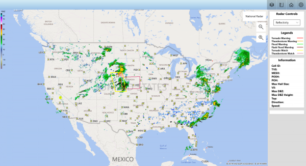
The national radar is the default radar view for the application. The national radar is always displayed in a 1 hour loop. The national radar is compiled from the nationwide composites of NEXRAD base reflectivity. This is designed to give a overview of the current radar view of the United States and territories (Including Guam and Puerto Rico).
NEXRAD
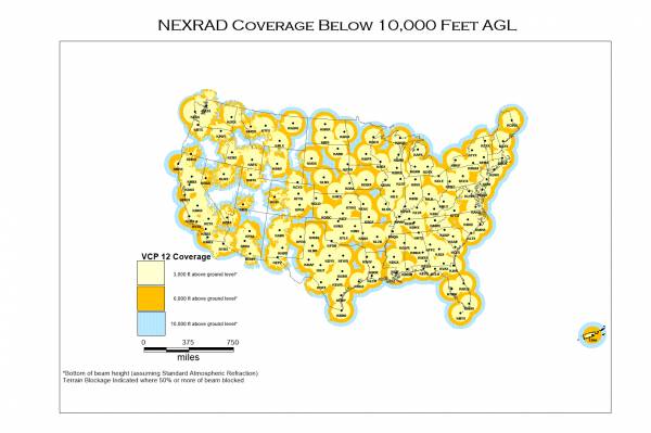
NEXRAD (Next-Generation Radar) is a system of Doppler radars across the US that is used to track the location and movement of storm systems. NEXRAD technical name is WSR-88D (Weather Surveillance Radar, 1988, Doppler).
You can view the NEXRAD radars by clicking the radar icon  for each location.
The NEXRAD radars provide the following radar views in this application:
- Reflectivity
TDWR
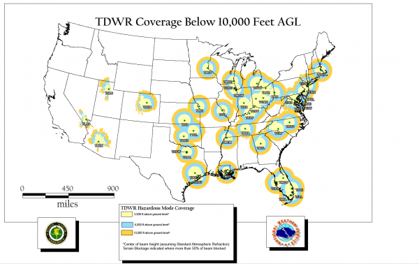
TDWR (Terminal Doppler Weather Radar) is a system of Doppler weather radars with a three-dimensional “pencil beam” used primarily for the detection of hazardous wind shear conditions, precipitation, and winds aloft on and near major airports situated in climates with great exposure to thunderstorms in the United States.
You can view the TDWR radars by clicking the radar icon  for each location.
The TDWR radars provide the following radar views in this application:
- Reflectivity
- Base Storm Velocity


